Online Datamine/Discover Webinars for Geologists
With the COVID-19 pandemic impacting the way we live and work, many people now shifting to working remotely to prevent further spread of the virus. GeoGRAFX will once again offer a series of webinars that focus on the MapInfo/Discover/Discover 3D platform. The webinars are short – usually one to two hours in duration and cover a specific topic related to the MapInfo/Discover/Discover 3D platform.
The webinar series allows people who have participated in previous training sessions to keep up to date with current changes without the expense of retaking the courses, and purchase only the specific sessions they need. Each Webinar is based on one of the chapters in the training manuals and contains not only the video as well as the detailed course manual, example datasets, and utilities used in the course.
To support our clients and the geology community, webinars for previous versions of MapInfo/Discover training are available available online at no charge. We will initiate a series of webinars for the current version of MapInfo/Discover and those will be available for a nominal fee. Sign up for our newsletter below to receive notices of upcoming webinars.
Course enrollment for upcoming webinars is limited and registration is required. Additional dates and courses will be added on an on-going basis. You will receive a confirmation of your enrollment. Participants will receive a copy of the webinar and course material. Unless noted, webinars will be conducted in English.
Webinars
| Name | Version | Cost | Description | |
|---|---|---|---|---|
 | Drillhole Display Webinar | MapInfo Professional v10.5 and Encom Discover v12.0 | Free | The Discover Drillhole Display module provides a comprehensive environment for processing and visualizing drillhole data. |
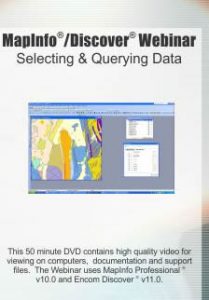 | Selecting & Querying Data Webinar | MapInfo Professional v10.0 and Encom Discover v11.0 | Free | Understanding “selections” is essential if you wish to work effectively with any GIS system. Because MapInfo works with its data as a database, you use selections of the data to assist in processing and analysis, much like any other database. This webinar covers an overview of selecting and querying methods. |
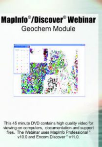 | Geochem Module Webinar | MapInfo Professional v10.0 and Encom Discover v11.0 | Free | The geochem module provides tools to display and interpret geochemical data. The webinar covers some of the tools such as point and trivariate classification, data leveling correlation matrix and summary statistics. |
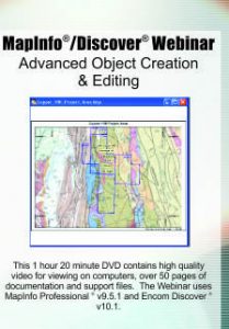 | Advanced Object Creation Webinar | MapInfo Professional v9.5.1 and Encom Discover v10.1 | Free | Covers some of the advanced object creation and editing tools useful in creating maps. |
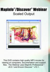 | Scaled Output Webinar | MapInfo Professional v9.5.1 and Encom Discover v10.1 | Free | Covers the use of Discover's Scaled Output to insert a correctly sized and scaled frame of the front map window (with map grid) into a layout. |
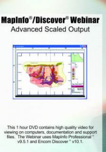 | Advanced Scaled Output Webinar | MapInfo Professional v9.5.1 and Encom Discover v10.1 | Free | This webinar builds on the topics covered in the scaled output webinar and includes such options as customizing title blocks, Layscale Utility and Layout Templates tools. |
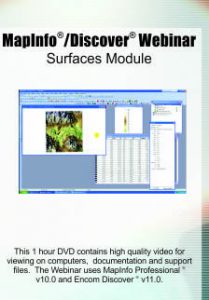 | Surfaces Module Webinar | MapInfo Professional v10.0 and Encom Discover v11.0 | Free | The Discover Surfaces module provides a rich suite of functions and tools for creating, modifying and analysing gridded surfaces. The Surfaces module has been designed to integrate seamlessly with gridded data created externally from MapInfo and with other Discover modules that use gridded data such as Drillholes. |
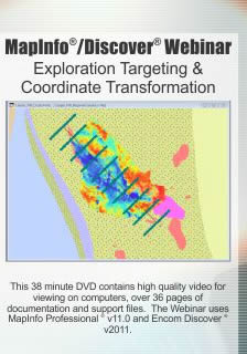 | Exploration Targeting Webinar | MapInfo Professional v11 and Encom Discover v2011 | Free | The Exploration Targeting & Coordinate Transformation video covers several of the tools that allow the user to quickly plan and assign coordinates to individual point location; including proposed scout drillhole collar locations, locations of interest or for ground truthing your spatial data |
