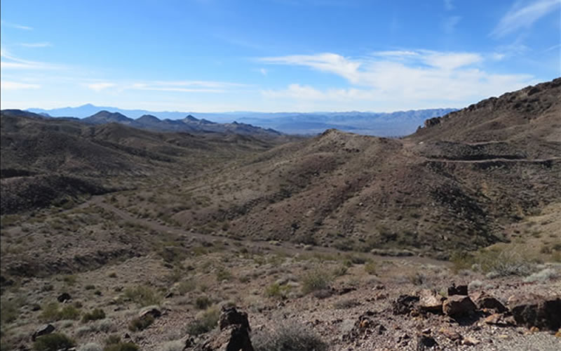
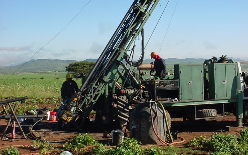
Shafter Mine Site
- Location: Texas
- Client: Aurcana Corp.
- Commodity: Ag
About this Project
Services for this client include:
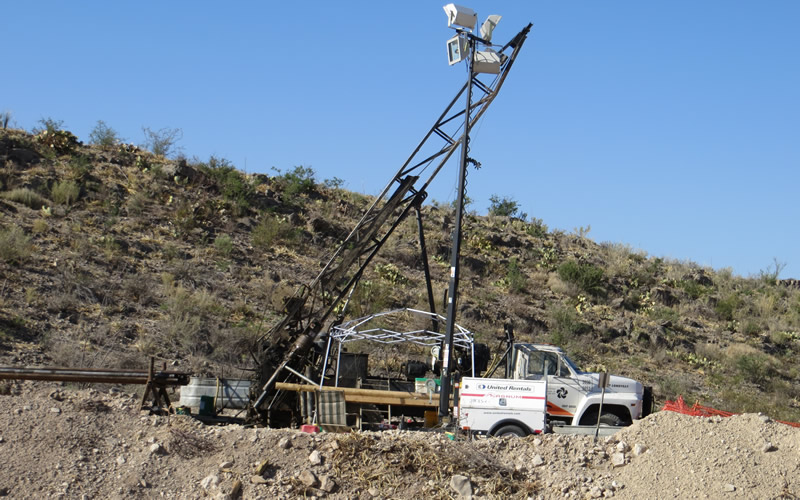
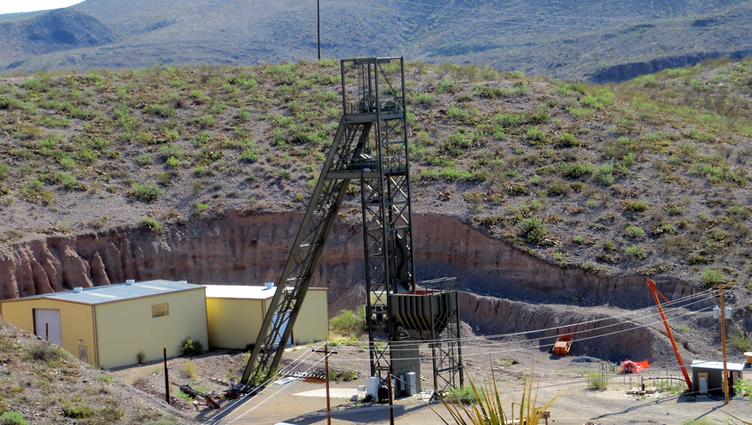
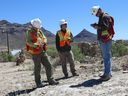
The mine site had a local mine grid systems in place. GeoGRAFX was able to create a custom projection that allowed the local grid to be seamlessly integrated with the GIS system.
GeoGRAFX worked with the mine site personnel to ensure data capture of drill hole information and field data was able to integrate seamlessly with their existing GIS systems, and that data was able to integrate with mine planning software.
Barbara from GeoGRAFX is a very easy person to talk too and I would highly recommend her to anyone doing anything GIS related. She showed a lot of experience when dealing with often historic data of varying quality and made good suggestions with integrating this historic data into our current drilling datasets. She was able to help integrate our digital Core Logging software into our MapInfo Project plus she helped set up MapInfo Mobile for digital field mapping. Both these processes allowed for rapid input of new data into our Project with appropriate QA/QC procedures in place.
If you have GIS questions, just ask Barbara and she will fix you up!
